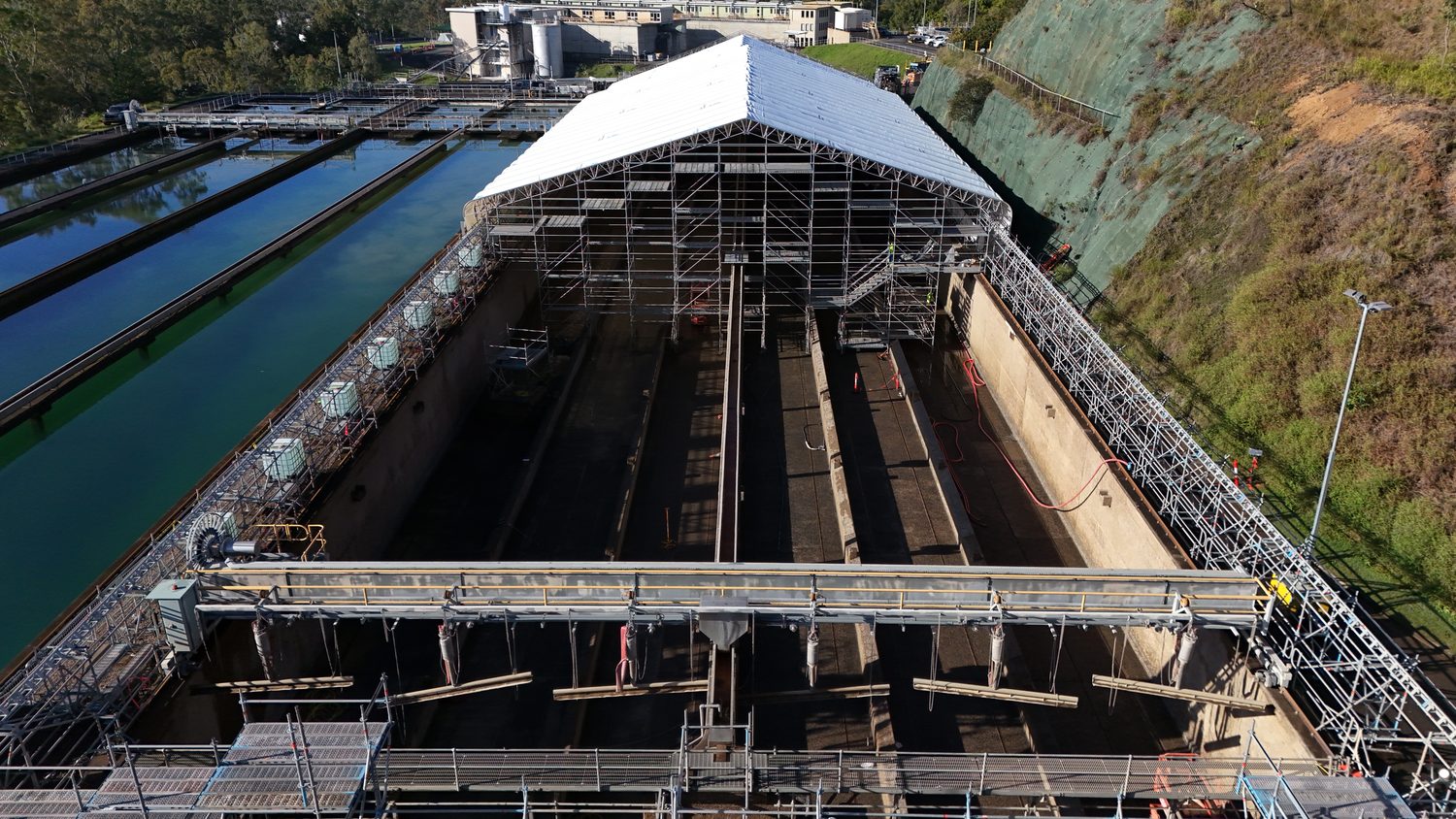
Progress documentation that repeats itself
Fixed-waypoint aerial capture, month after month — the same frames, the same light discipline, so progress reads as change rather than as different photos.
Same frame, every month
Drone photography and videography captures 4K aerial stills and video of your site or project — repeatable progress documentation, tender visuals and marketing footage across Brisbane and SEQ. Progress capture runs on saved waypoints: identical positions, headings and focal lengths each visit. Laid side by side, the series shows the project moving — no re-framing, no guesswork about what changed.
It is the difference between having photos of the site and having a record of the build.
| Stills | RAW + DELIVERY JPEG |
| Video | 4K/60 |
| Method | SAVED WAYPOINTS — REPEATABLE |
| Cadence | MONTHLY OR MILESTONE |
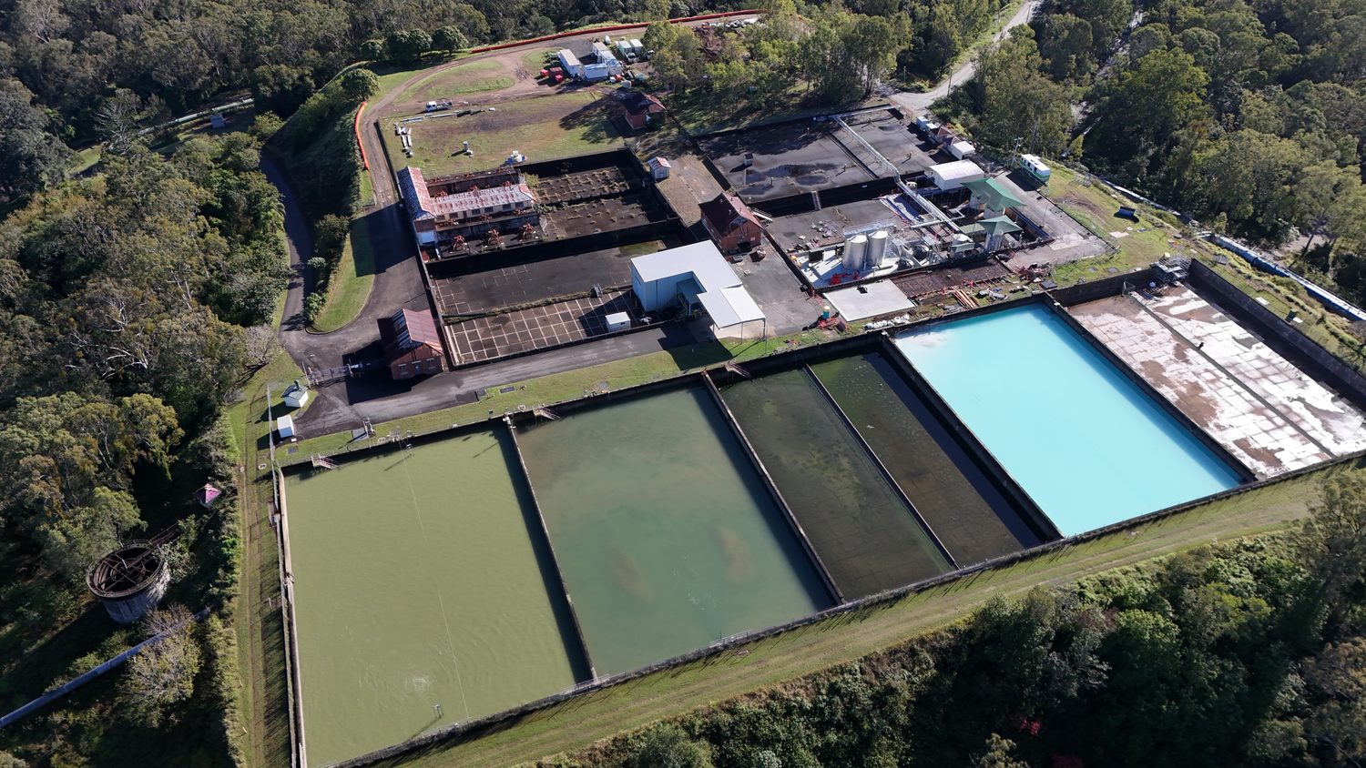 WAYPOINT FRAME 01
Tenders, boards and communities
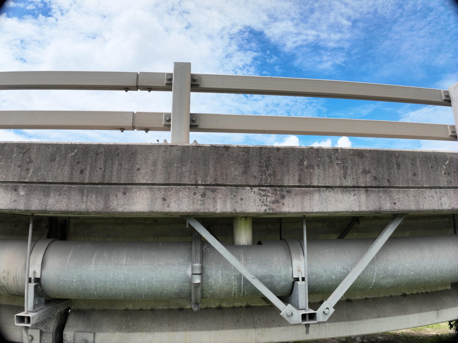
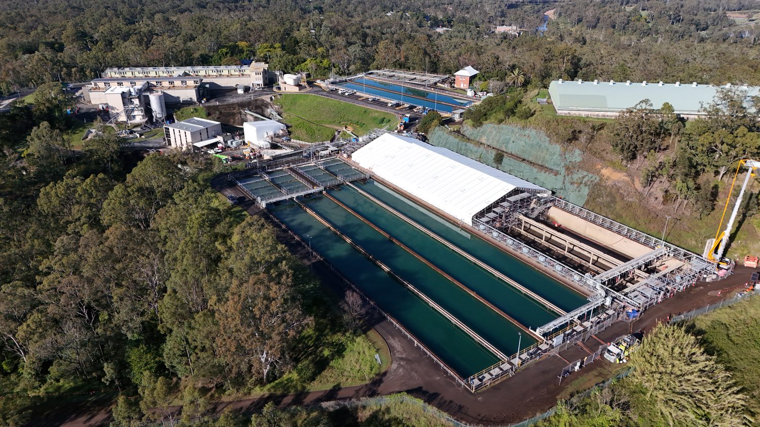
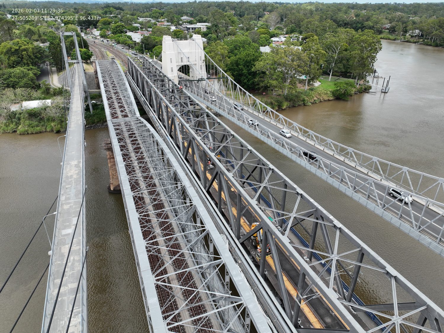
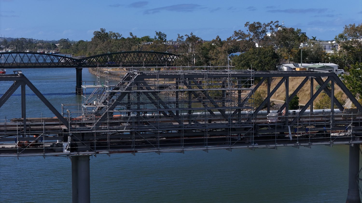
The same library feeds tender submissions, board reporting, community updates and marketing — captured once, cut to purpose. Cinematic passes for the hero shots; disciplined documentation frames for the record.
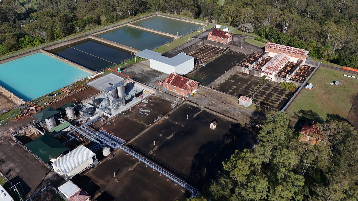
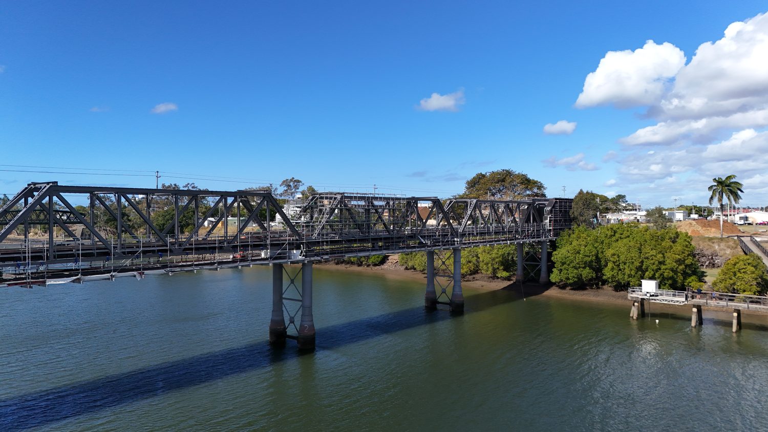
From the current library
Straight answers, before you ask
Q/01How does repeatable progress capture work?
Waypoints, camera headings and focal lengths are saved on the first visit and re-flown identically each cycle. The resulting series is frame-matched, so monthly comparisons show construction progress rather than photographic variation.
Q/02What formats do we receive?
Full-resolution stills in RAW plus delivery-ready JPEG, and video in 4K/60 with graded exports cut to your use — tender, board pack, social. Raw footage remains available for future edits.
Q/03Can one shoot serve marketing and the project record?
Yes — that is the intended design. Each visit captures both the disciplined documentation frames and cinematic material, so the same mobilisation feeds reporting and promotion without a second crew.
Q/04How much does drone photography cost?
A single aerial photography or video shoot around Brisbane typically starts from a few hundred dollars, with recurring progress-capture programs priced per visit across the life of the project. Hover scopes each brief and quotes in writing within one business day.
Scope this for your site
Send the asset and the deliverable you need — a scoped method and quote comes back within one business day.
HARRY BILLING — CHIEF REMOTE PILOT
0411 445 458
[email protected]
CASA ReOC #9398 · $20M PUBLIC LIABILITY