Volumetrics without the shutdown
Stockpile and cut-fill volumes measured from the air at survey grade — while the site keeps working underneath.
Volumes your reconciliation can stand on
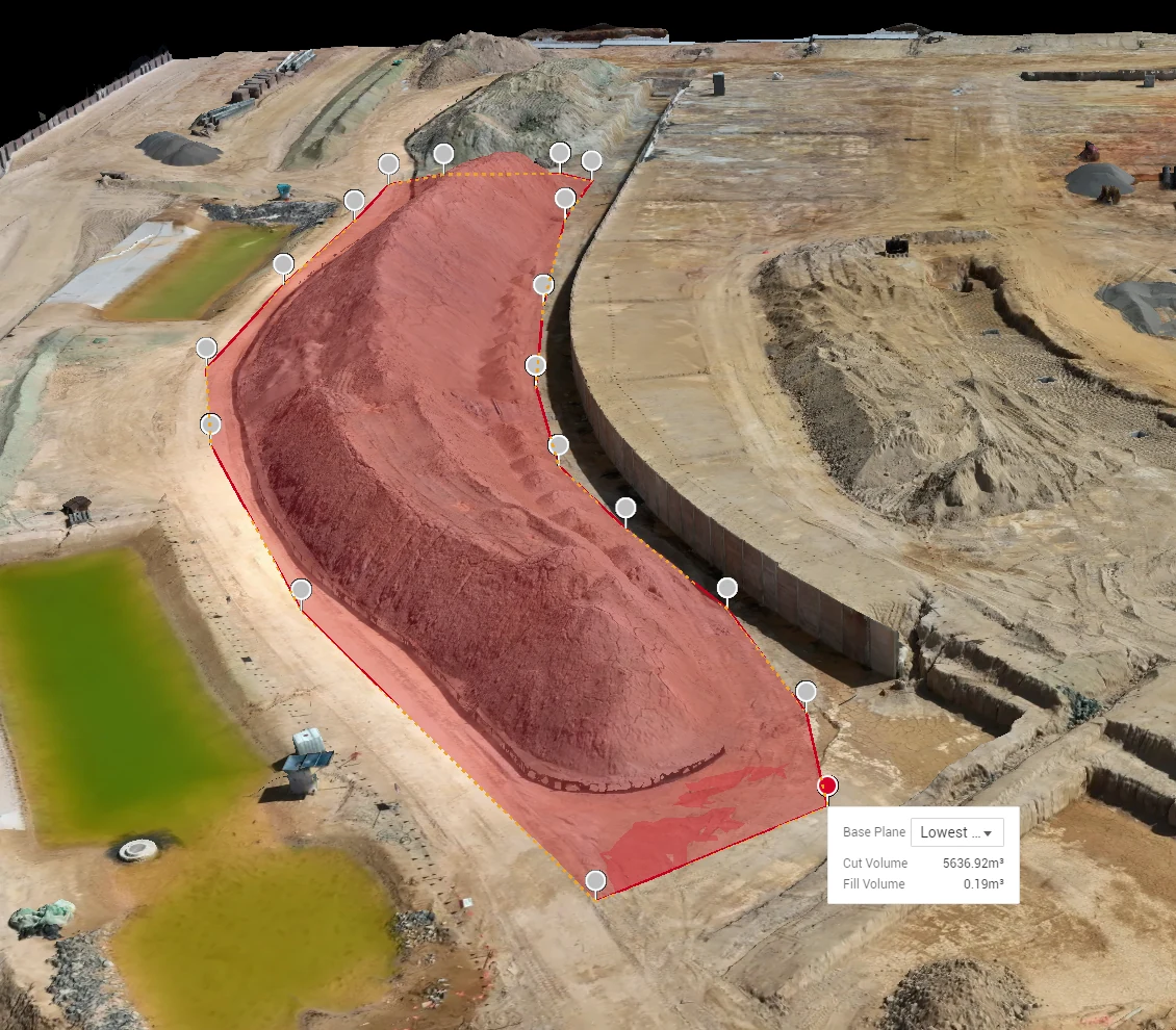
A drone volumetric survey measures stockpile and cut/fill volumes from the air — survey-grade quantities in a couple of hours, with no site shutdown — across Brisbane and SEQ. Each pile is measured against a true ground surface, not an assumed base plane — the difference between a number that reconciles and one that argues.
Capture parameters are fixed job to job, so month-on-month movement reflects material, not methodology. That consistency is what makes the numbers auditable.
| Measured | STOCKPILES · CUT-FILL · RECONCILIATION |
| Basis | TRUE GROUND SURFACE — NOT ASSUMED PLANES |
| Repeatability | FIXED CAPTURE PARAMETERS, EVERY CYCLE |
| Output | VOLUME REPORT + SURFACES |
 SURFACE MODEL
Built for end-of-month
A volumetric flight takes hours and needs no exclusion of plant from the pad — no climbing piles with a GPS pole, no waiting for the site to pause. Which is why it works as a standing program: same day each month, same parameters, report in your inbox before reconciliation closes.
One-off measurements for disputes, handovers and audits run on the same methodology, with the control evidence attached — the same engine behind our topographic site surveys.
Straight answers, before you ask
Q/01How do drone volumetrics compare with a GPS pole survey?
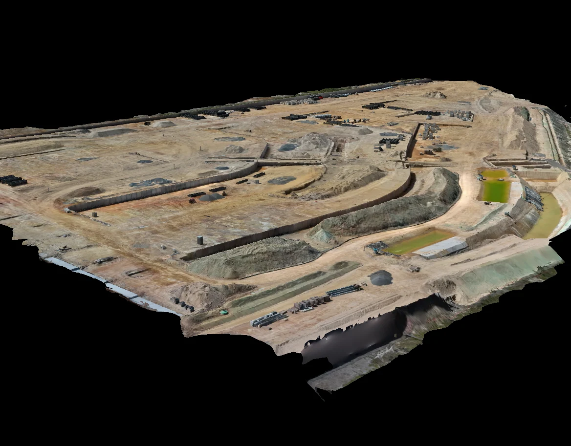
A walked survey samples the pile at points and interpolates between them; the drone measures the entire surface — millions of points — against a true ground base. Coverage is complete, nobody climbs the stockpile, and the site keeps operating during capture.
Q/02How is the volume actually calculated?
The pile surface is reconstructed from RTK-positioned imagery and differenced against the ground surface beneath it. Where a pre-fill ground model exists we use it; where it does not, we establish the base from the surrounding terrain and record the assumption in the report.
Q/03Can you run this monthly?
Yes — that is the design case. Fixed waypoints, fixed parameters, same day each cycle. The output is a like-for-like series your quantity surveyor can track without adjusting for method changes.
Q/04Does the site need to stop?
No. Capture is flown from standoff above the pad. Normal operations continue; we coordinate timing with your loader activity only to keep piles static during the pass.
Q/05How much does a stockpile or volumetric survey cost?
Volumetric drone surveys typically run around $500 to $2,000 per visit depending on site size and how many stockpiles are measured, with per-visit rates falling for recurring monthly programs. See the cost guide; Hover quotes each site in writing within one business day.
Scope this for your site
Send the asset and the deliverable you need — a scoped method and quote comes back within one business day.
HARRY BILLING — CHIEF REMOTE PILOT
0411 445 458
[email protected]
CASA ReOC #9398 · $20M PUBLIC LIABILITY