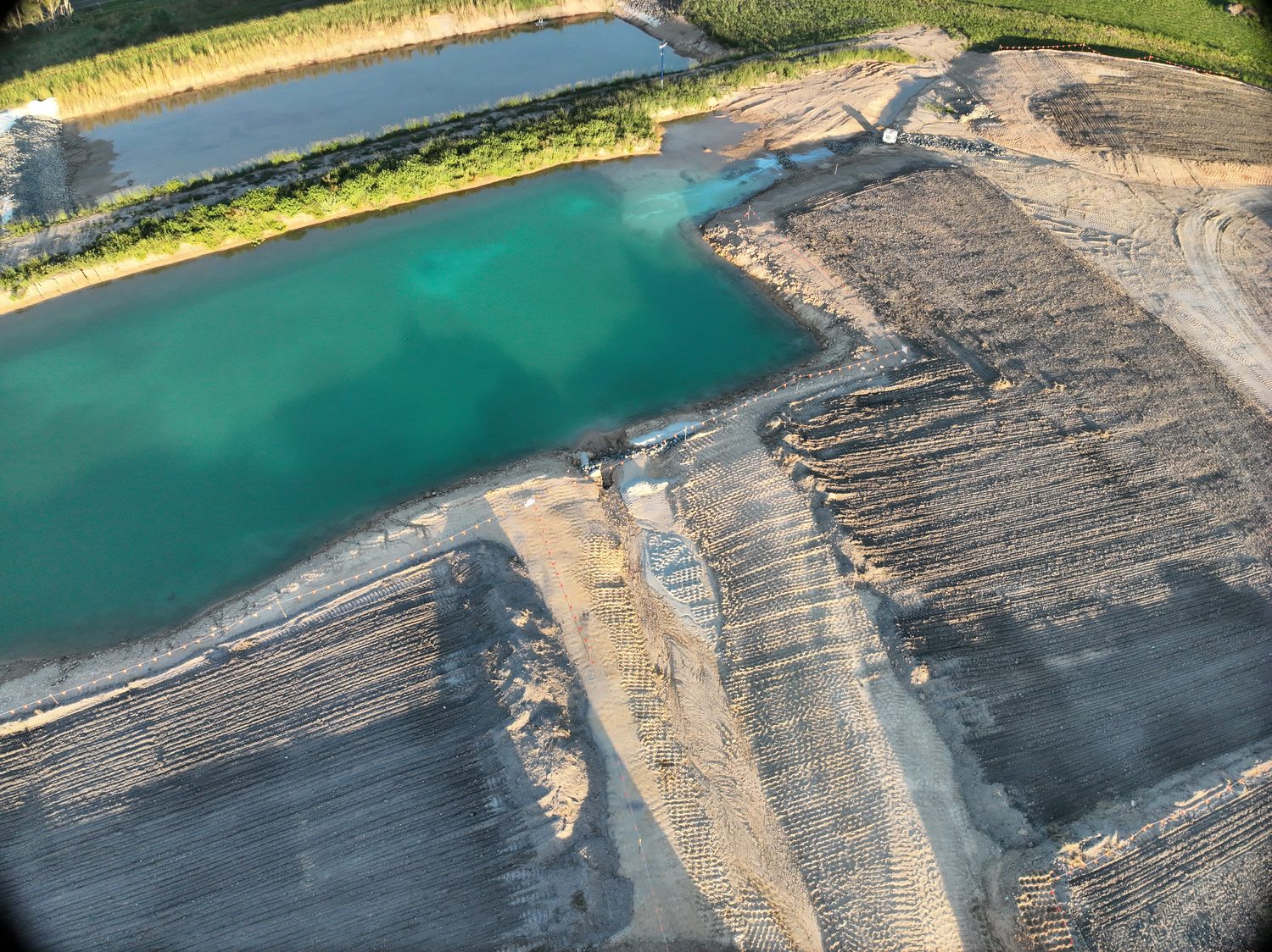
RTK site surveys, CAD-ready
Topographic data for civil design, tenders and earthworks — contours at your interval, DTM/DEM surfaces and orthomosaics, validated against ground control.
From bare site to design surface
A drone site survey uses an RTK-equipped drone to produce survey-grade topographic data — orthomosaic, point cloud, DTM/DEM and contours — for engineering and construction across Brisbane and SEQ. One flight yields the full stack: a current-condition orthomosaic, a classified point cloud, DTM and DEM surfaces, and contours cut to whatever interval your design standard calls for. Most sites are flown from above 30 m, so capture runs without interrupting works on the ground below.
Everything lands CAD-ready — 12d and Civil 3D take the surfaces directly, and the ortho drops under your design as a georeferenced base. Stockpiles on site? The same flight feeds volumetric reporting.
| Contours | TO YOUR SPECIFIED INTERVAL |
| Surfaces | DTM / DEM |
| Imagery | ORTHOMOSAIC — GeoTIFF |
| Point cloud | .LAS CLASSIFIED |
| Accuracy | Up to 1 cm + 1 ppm H · 1.5 cm + 1 ppm V |
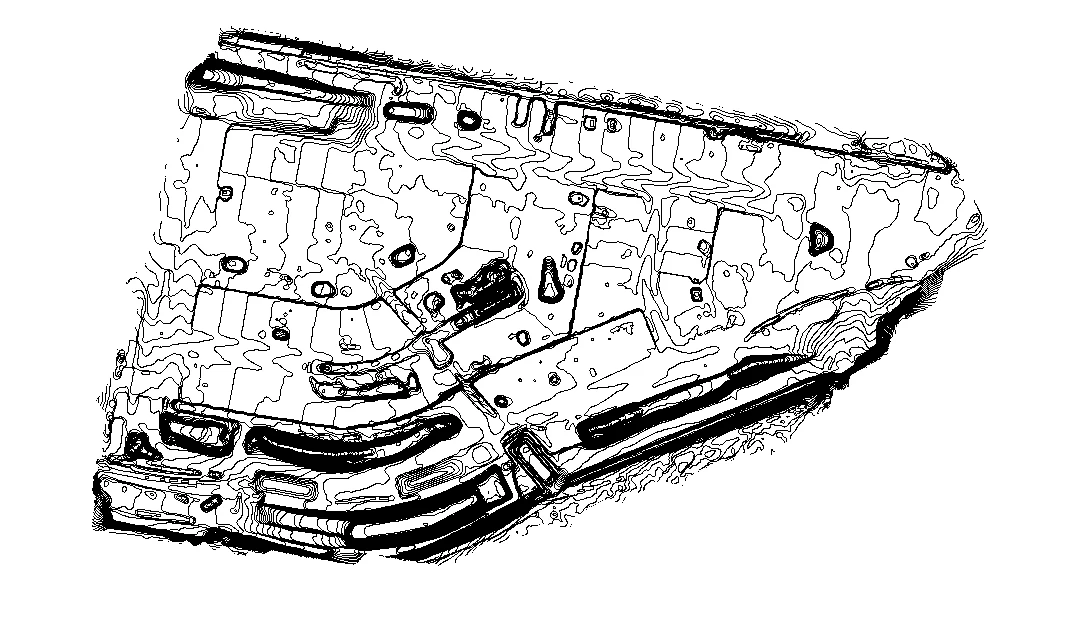 CONTOURS — CLIENT INTERVAL
See the site the way the water does
Height-mapped surfaces expose drainage paths, ponding risk and cut-fill balance before design starts — the conversations that are cheap on a screen and expensive in earthworks variations.
Because capture takes hours rather than days, a fresh survey before tender or after bulk earthworks is a line item, not a program risk.
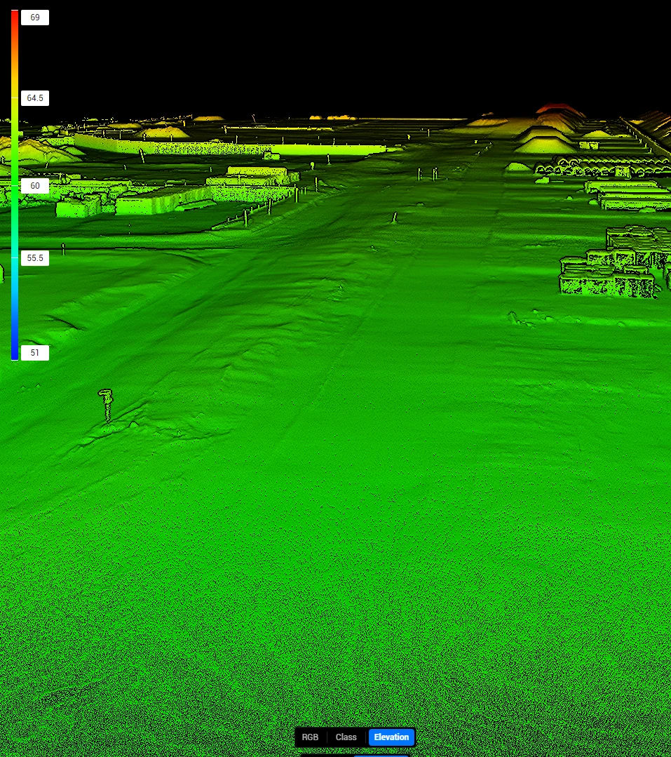 DSM — HEIGHT FIELD
Where we draw the line
Hover delivers engineering and pre-design survey data. We are not a registered surveying practice: boundary definition, cadastral work and title matters are legal survey work, and they belong with a registered surveyor. We are upfront about that line because your project depends on both sides of it being done properly.
Straight answers, before you ask
Q/01How accurate is a drone site survey?
RTK positioning with independent ground control validation delivers up to 1 cm + 1 ppm horizontal and 1.5 cm + 1 ppm vertical accuracy. The control report ships with the data, so your civil designer can see the residuals rather than assume them.
Q/02Can you do our boundary survey?
No. Boundary and cadastral definition is legal survey work reserved for registered surveyors under Queensland law, and we refer it accordingly. What we deliver is the engineering data around it: current-condition surfaces, contours and imagery for design, tenders and earthworks.
Q/03Do you need the site shut down?
Almost never. Capture is flown from standoff with no plant interaction, and most sites operate normally throughout. Where exclusion zones are required, they are small and short-lived, and we plan them with your site team in the SWMS.
Q/04What do you need from us to quote?
The site address or a boundary sketch, the deliverables you need — contour interval, surface formats — and any timing constraints. A scoped method and quote comes back within one business day.
Q/05How much does a drone site survey cost?
Small-to-mid topographic drone surveys around Brisbane typically fall in the roughly $800 to $3,500 range, depending on site size, access and the deliverables and accuracy you need. The drone survey cost guide breaks this down; a written, fixed quote comes back within one business day.
Scope this for your site
Send the asset and the deliverable you need — a scoped method and quote comes back within one business day.
HARRY BILLING — CHIEF REMOTE PILOT
0411 445 458
[email protected]
CASA ReOC #9398 · $20M PUBLIC LIABILITY