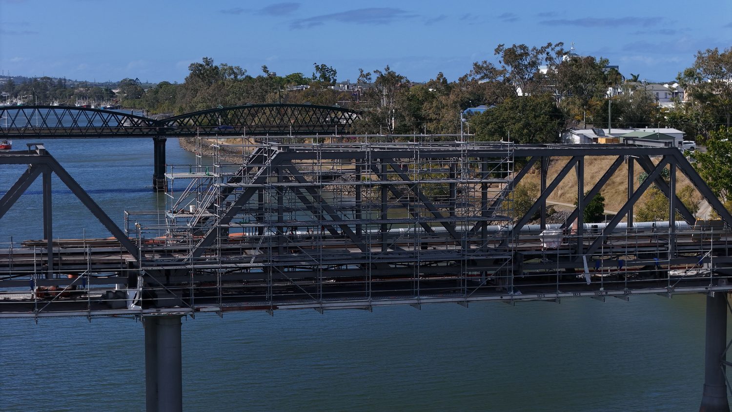
Six ways we capture your asset
One operator, one methodology, one accountable pilot — from millimetre-accurate digital twins to a monthly progress photo. Pick a service below for the full spec.
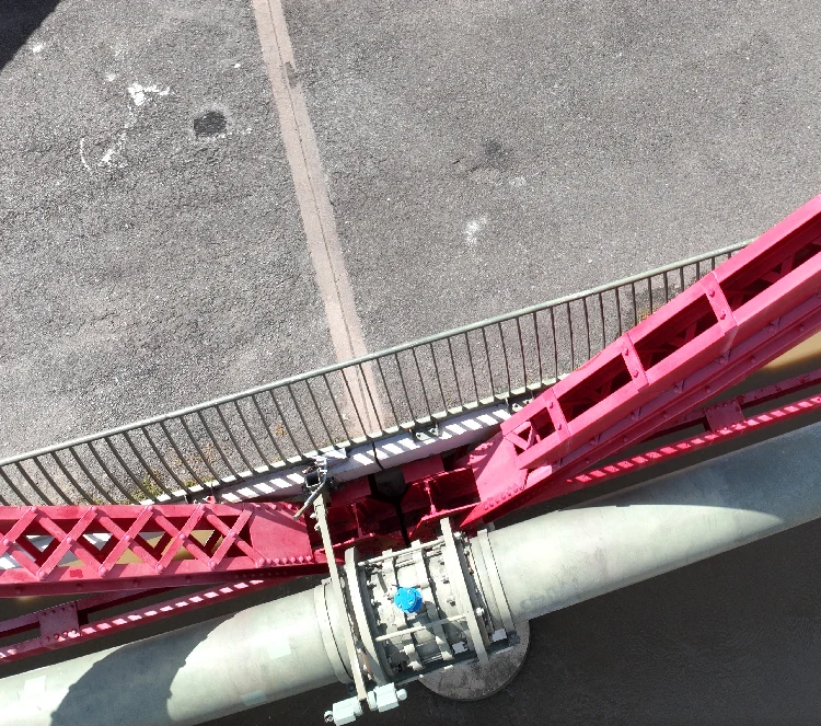
Photogrammetry & Digital Twins
LOD 400 digital twins, point clouds and BIM-ready 3D models with survey-grade accuracy — the flagship service everything else builds on.
Up to 1 cm + 1 ppm accuracy
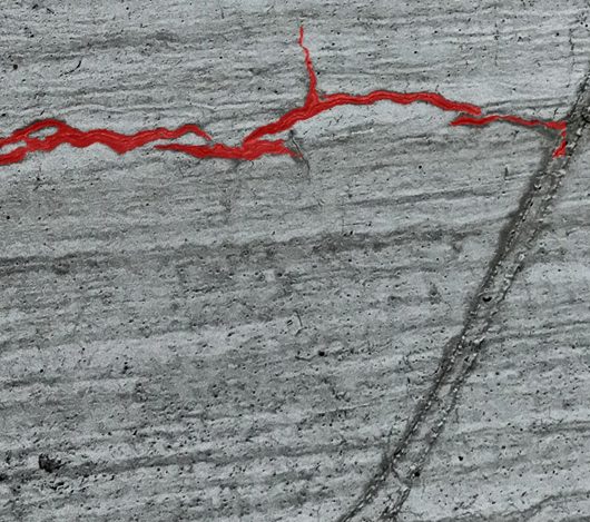
AI Defect Detection
Cracking, spalling and corrosion detected from 0.2 mm and geolocated on the 3D model — a defect register, not a folder of photos.
0.2 mm detection threshold
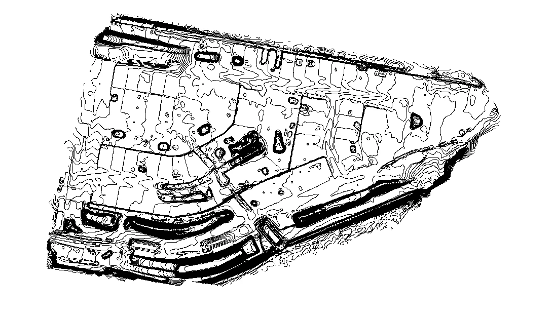
Site Surveys
RTK topographic surveys — contours, DTM/DEM and orthomosaics, CAD-ready for civil design and tenders.
Contours to your interval
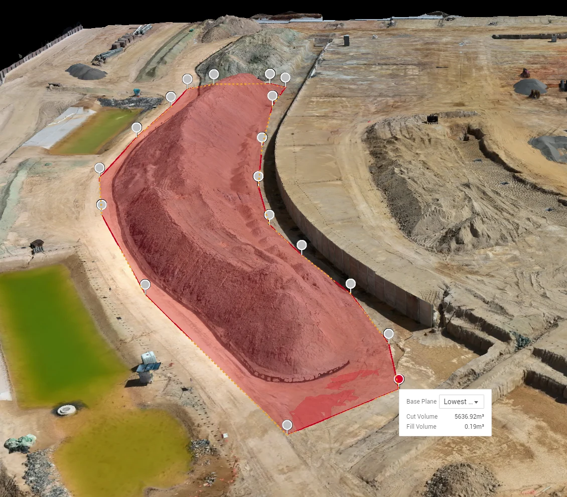
Volumetric Mapping
Stockpile and cut-fill volumetrics with survey-grade accuracy — zero site shutdowns, end-of-month ready.
No site shutdown required
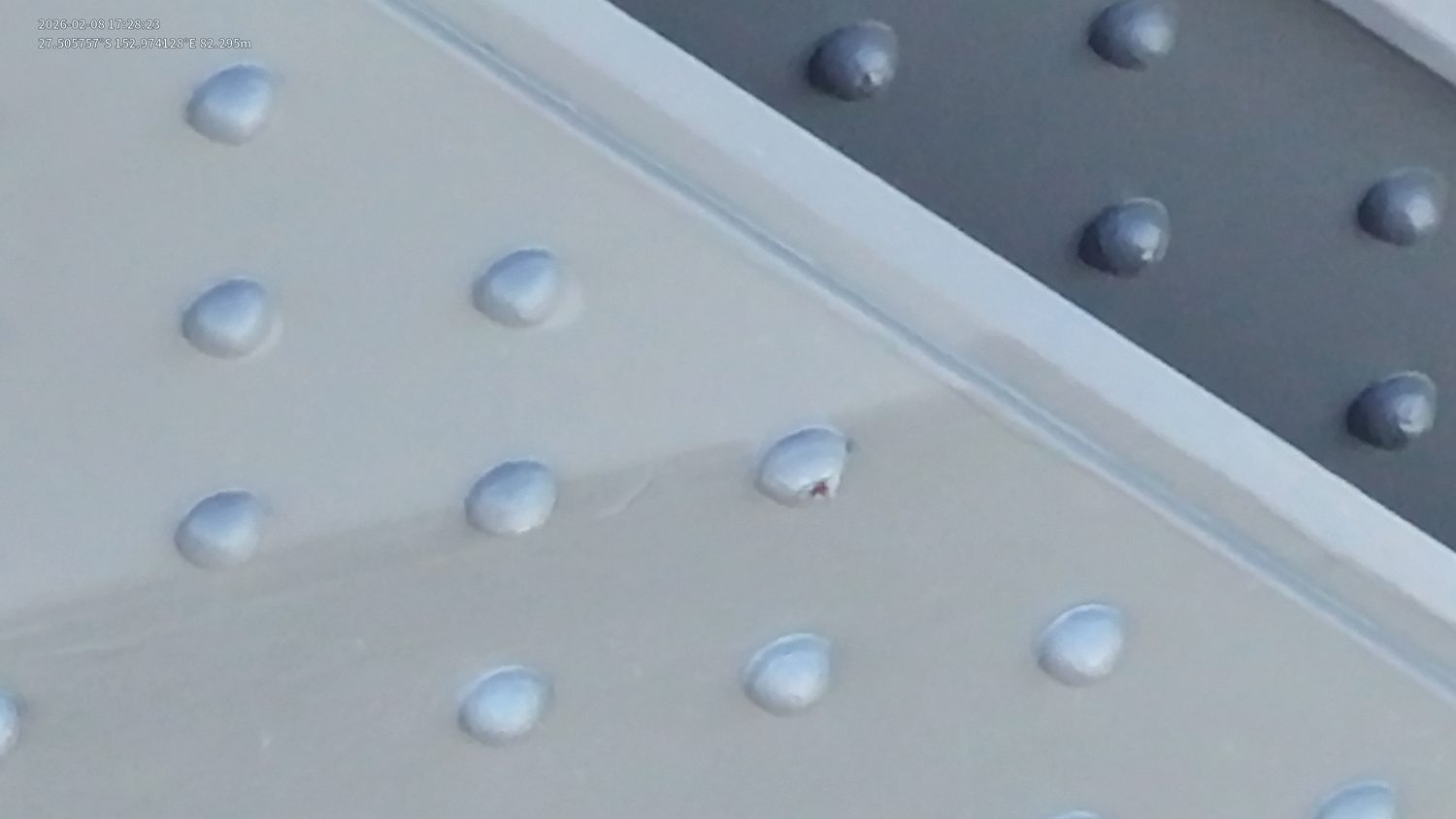
Visual Inspections
Close visual inspection of bridges, towers and dams — no rope access, scaffolding or EWPs required.
Sub-millimetre imagery
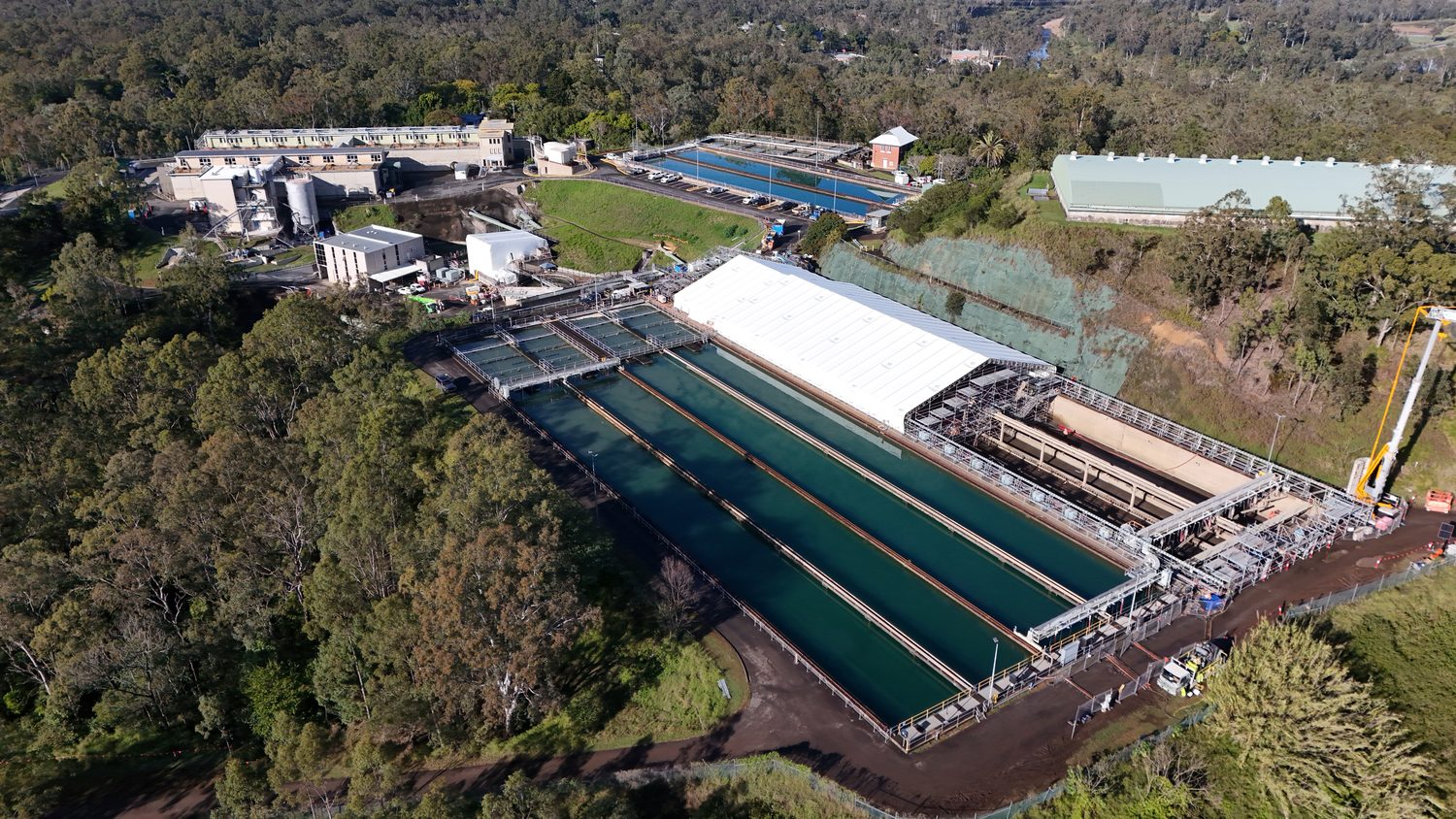
Photography & Videography
4K progress documentation from fixed waypoints — repeatable monthly capture for stakeholders and tenders.
4K/60 · RAW stills
Not sure which one you need?
Most projects start with photogrammetry or a site survey, then add defect detection where condition matters, volumetric mapping where stockpiles or earthworks need measuring, or visual inspection for close-range structural detail (see the drone inspections hub). If you're not sure which combination fits your project, send the asset and the outcome you need — request a technical quote and we'll scope the right service mix, not just sell you the flagship.
Scope this for your site
Send the asset and the deliverable you need — a scoped method and quote comes back within one business day.
HARRY BILLING — CHIEF REMOTE PILOT
0411 445 458
[email protected]
CASA ReOC #9398 · $20M PUBLIC LIABILITY